
キャプティブ 2024.01.04
CA 57 南海トラフ大地震に備える、地震に強いキャプティブ
Copyright © Shinichiro Hatani 2024 All rights reserved
For those who prefer to read this column in English, the Japanese text is followed by a British English translation, so please scroll down to the bottom of the Japanese text.
当然のことであるが、地震が発生した場合、「建物の構造」によって建物等が受ける被害、損害の程度は大きく異なる。
本年元日、2024年1月1日発生した「令和6年能登半島地震」で、メディアが地震の強さを象徴的に報道しているものに、周りの一般民家の建物のほとんどが甚大な被害を受けずに存立しているように見えるなか、「根元からポキッと折れたように倒れ、隣にあった木造建物をビルの重さで押しつぶしている、輪島市の7階建のビル」がある。
このビルを所有している会社のホームページを見ると、「昭和47年(1972年)地上7階地下1階(現在地下は埋設)工場兼店舗の社屋建設」と記されている。
耐震基準に関して、「新耐震」と呼ばれる建築基準法施工令の改正があったのは、昭和56年(1981年)6月1日であり、同ビルに耐震補強が行われていたかどうかは不明であるが、新耐震基準以前のいわゆる旧耐震基準によって建設されたものと推測されるビルである。
1981年5月まで適用されていた「旧耐震基準」は、10年に一度発生すると考えられる「震度5強程度」の揺れに対して、家屋が倒壊・崩壊しないという基準となっている。つまり、大規模地震の想定はされていない建築基準と考えられるが、1978年に発生した宮城県沖地震で、建物の倒壊やブロック塀の損壊による大きな被害が見られたことから、耐震基準改正の動きが起き、1981年6月1日から耐震基準が改正された。
この「新耐震基準」と呼ばれる基準は、震度6強~7程度の揺れでも家屋が倒壊・崩壊しないことを基準としているものであり、耐震性に関する規定は遙かに厳格化された。この差を示すように、1995年に発生した阪神・淡路大震災では、旧耐震基準の建物では甚大な被害が起きたが、新耐震基準で建てられた建物の7割超は軽微ないしは無被害であり重大な被害は免れたと報告されている。
しかし、建物が如何に強固な造りであっても、その建物が建てられている地盤が弱ければ、地震の影響は地盤の弱さによって増幅されることになる。
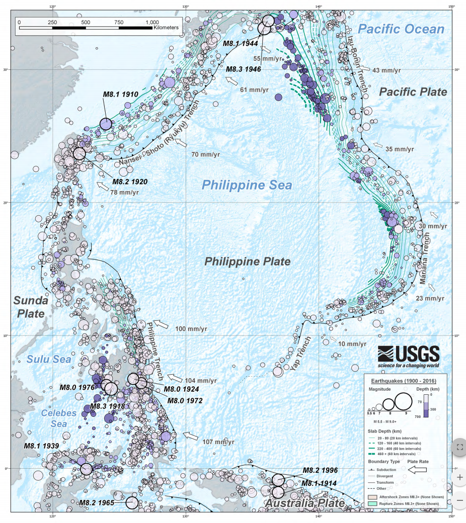
(出典:USGS) (Source: USGS)
1.地盤の強さ
地震の揺れの強さは「規模」と「震源からの距離」によって異なってくる。ただ、地震の規模と距離が同じでも、揺れの強さは、地盤の固さで大きく変わってくる。
以前本コラムに投稿したが、政府「地震調査研究推進本部」が公表している地盤データを基に、「ゲンダイネット」が地震を想定して、2012年1月作成した「揺れに強い東京の街ランキング」で、1位の都市に筆者が居住する多摩市が選ばれたことがある。その際に使われた指標は「表層地盤増幅率」であった。
地盤が堅固かどうか、「表層地盤」(土地の表層近くの浅い部分)の揺れの大きさを数値化したものが、「表層地盤増幅率」である。1を超えて数値が高くなるほど「揺れやすいこと」を示すが、多摩市の数値は1.04であった。防災に関する科学技術の研究を行う、文部科学省所管の「国立研究開発法人」である「防災科学技術研究所」の分析では、「1.6以上で地盤が弱いことを示す」とされ、「2.0以上は特に揺れやすい」という評価である。
2.地震ハザードステーション
この「防災科学技術研究所」(略称:防災科研「NIED」)は、1963年4月、当時の「科学技術庁」の附属機関として設立された「国立防災科学技術センター」に淵源を持つ防災に関する科学技術の研究を行う機関であり、本部は茨城県つくば市にあるが、全国各地に実験施設や観測施設を所有している。
この「防災科研(NIED)」のホームページにある「J-SHIS:地震ハザードステーション」は秀逸である。「主要活断層帯」、「その他活断層帯」、「海溝型地震震源断層」、「海溝型地震発生領域」、「主要活断層帯地表トレース」等に関して、全国マップの中でそれらが詳述されている。
さらに、地震による影響を受ける地域を、今後30年間で「震度5弱以上」、「震度5強以上」、「震度6弱以上」、「震度6強以上」他、それぞれの揺れに見舞われる確率の分布図が一目瞭然、地震リスクによって自社に及ぶ影響が推測できるものとなっている。●「防災科研(NIED)」J-SHIS:地震ハザードステーション・マップ
「地震ハザードステーション」のデータに基づいて、東京、関東地域でシミュレーションをおこなってみたら、増幅率の低い(地盤の強い)地域は、東京西側の丘陵地帯、増幅率の高い(地盤の弱い)地域は、東側の旧下町や湾岸エリアに位置していた。
地質学的にみると、山の手は標高の高い洪積台地であるのに対して、下町は海に近く標高の低い沖積低地であり、1923年(大正12年)の関東大震災でも、都心下町の被害が大きかったデータが残されている。
千葉市(千葉県)が2.23、横浜市(神奈川県)が2.19、さいたま市(埼玉県)が1.63となっており、東京都心部の山の手エリアよりも高い。一方、北関東では、水戸市が1.86、宇都宮市が1.30、前橋市が1.19となっており、全般的に南関東よりも低い値を示している。
このシミュレーションを拙宅付近でおこなったものが下図である。強固な地盤ということが解る数値である。
表層地盤
地盤増幅率(Vs=400m/s~地表) 1.02 微地形区分 丘陵 30m平均S波速度 393m/s
この地盤の強固さを裏付けるように、筆者が多摩市に転居した後、大手メガ損保、大手メガバンク、大手電話通信会社等の都心本社機能を有事の際にバックアップする機能を持たせた会社施設、データセンターが幾つも建設されている。

今回のまとめ
「新型コロナのパンデミック」という大きなリスクがようやく峠を越えたいま、今回の能登半島沖地震で顕在化した地震リスクに対応することが求められていると感じるのは筆者だけではないだろう。
筆者はリスクマネジメントに長年携わってきたが、その経験から、今般の新型コロナ・ウイルス禍の先に存在する、日本にとって最大級のリスク、「南海トラフ大地震」、「首都圏直下地震」、これらのリスクに対する認識をどうしても新たにせざるを得ない心境に新年早々駆られた。
能登半島沖地震、羽田空港滑走路での飛行機の衝突事故が立て続けに起きたことによって、「不測の事態は、更なる不測の事態を呼ぶ」というリスク認識を更に強くしたからである。
「ワクチンの開発」等、自分ではできない「リスク対応策」とは異なり、自社で対応策、リスク軽減策を取ることができるのが、地震リスクである。古来、日本では飢饉と疫病が蔓延る時には不思議と大地震が起きることが度重なった。
奈良時代に大流行した疫病が「天然痘」であった。平城京にも蔓延、当時の国政を担っていた藤原氏の4兄弟が全員病死して朝廷は大混乱。当時の日本の総人口の20~30%に当たる100万~150万人が亡くなったと言われている。
相次ぐ国難に悩んだ聖武天皇は、743年(天平15年)、国家の安寧や疫病から人々が救われることを願って奈良東大寺の大仏造立を命じた。この疫病の蔓延後、大地震が起きた。新型コロナの次に起きた今回の能登半島沖地震のようである。平安時代も、また鎌倉時代も疫病の流行に伴って大地震が起きた。
疫病の発生、流行と大地震のインターバルの期間が似通っていることが理由の一つであろう。一つのリスクの顕在化は他のリスクにも影響を与えると考えるのがリスクマネジメントの本義である。今こそ、地震リスクにも目を向け本格的な対応をとる時期でないだろうか、起きてからでは遅いからである。
キャプティブはそのための重要な武器となる。特に大地震によって大きな損害、損失を被る可能性のある資産を有している企業にとって、キャプティブの効用は非常に高い。「損害保険会社から提供、販売されている地震保険以上の保険は存在しない」と一般的に考えられているが、「キャプティブ・プログラムを活用すれば、それらを遥かに凌駕する世界レベル補償内容の地震保険を安価に確保することができるから」である。
執筆・翻訳者:羽谷 信一郎
English Translation
Captive (CA) 57 – Earthquake-resistant captives to prepare for a major Nankai Trough earthquake
Naturally, the extent of damage to buildings and other structures in the event of an earthquake varies greatly depending on the ‘structure of the building’.
In the Noto Peninsula Earthquake of 2024, which occurred on 1 January 2024, the media reported symbolically on the strength of the earthquake: while most of the surrounding private buildings appeared to have survived without serious damage, there was one building that “collapsed as if snapped from its base, crushing a neighbouring wooden building under the weight of the building”.
The website of the company that owns the building states that it was ‘constructed in 1972 as a factory and shop building with seven floors above ground and one below (the basement is currently buried)’.
It is unclear whether seismic reinforcement was carried out in the building, but it is assumed that the building was constructed according to the so-called old seismic resistance standards before the new seismic resistance standards, as the Building Standards Law construction order, known as the ‘new seismic resistance’, was revised on 1 June 1981.
The old earthquake-proofing standards, which were in force until May 1981, were designed to ensure that houses would not collapse or collapse in the event of a quake of intensity 5 or higher, which is thought to occur once every 10 years. However, the Miyagi Earthquake of 1978 caused significant damage from collapsed buildings and damaged block walls, leading to a movement to revise the seismic resistance standards, which were revised on 1 June 1981.
The ‘new seismic resistance standards’, which are based on the principle that a house should not collapse or collapse even if it is hit by a tremor of intensity 6 or 7, have far stricter provisions on seismic resistance. As an indication of this difference, in the Great Hanshin-Awaji Earthquake of 1995, buildings built to the old earthquake-proof standards suffered extensive damage, while more than 70% of buildings built to the new earthquake-proof standards suffered only minor or no damage, and were reportedly spared serious damage.
However, no matter how strong a building is, if the ground on which it is built is weak, the effects of an earthquake will be amplified by the weakness of the ground.
1. Ground strength
The intensity of earthquake shaking depends on the ‘scale’ and ‘distance from the epicentre’. However, even if the scale and distance of the earthquake are the same, the intensity of the shaking will vary greatly depending on the solidity of the ground.
As previously mentioned in this column, Tama City, where the author lives, was selected as the No. 1 city in the “Ranking of Tokyo Cities Resistant to Shaking” prepared by Gendai.net in January 2012, based on ground data published by the government’s Headquarters for Earthquake Research Promotion, assuming an earthquake. The indicator used was the ‘surface ground amplification factor’.
The amplification factor of the surface ground is a numerical value indicating whether the ground is solid or not, and the higher the value above 1, the more likely it is to be shaken. According to an analysis by the National Research Institute for Earth Science and Disaster Prevention, a national research and development corporation under the jurisdiction of the Ministry of Education, Culture, Sports, Science and Technology, which conducts research on science and technology related to disaster prevention, a value of 1.6 or higher indicates that the ground is weak and a value of 2.0 or higher indicates that the ground is particularly prone to shaking.
2. Earthquake hazard station
The National Research Institute for Earth Science and Disaster Prevention (NIED), which was established in April 1963 as an annex to the then Science and Technology Agency, is an organisation that conducts research into science and technology for disaster prevention. It is headquartered in Tsukuba City, Ibaraki Prefecture, but has experimental and observation facilities throughout the country.
The J-SHIS: Earthquake Hazard Station on the website of the National Research Institute for Earth Science and Disaster Prevention (NIED) is excellent. The J-SHIS: Earthquake Hazard Station” on the website of the National Research Institute for Earth Science and Disaster Prevention (NIED) is excellent. It provides detailed information on major active fault zones, other active fault zones, trench earthquake source faults, trench earthquake areas and surface traces of major active fault zones in a nationwide map.
In addition, the map shows the areas affected by earthquakes and the probability of being hit by shocks of intensity 5 or lower, intensity 5 or higher, intensity 6 or lower, intensity 6 or higher and other shocks over the next 30 years, making it possible to estimate the impact of earthquake risk on the company. J-SHIS: Earthquake Hazard Station Map, National Research Institute for Earth Science and Disaster Prevention (NIED).
The simulation of Tokyo and the Kanto region based on data from the Seismic Hazard Station showed that areas with low amplification (strong ground) were located in the hills west of Tokyo, while areas with high amplification (weak ground) were located in the former downtown and bay area to the east.
Geologically speaking, the Yamanote area is a Pleistocene plateau with a high elevation, while the downtown area is an alluvial lowland with a low elevation near the sea, and data from the 1923 Great Kanto Earthquake show that the downtown area of central Tokyo was severely damaged. The earthquake damage rate for Chiba City (Chiba Prefecture), Yokohama City (Kanagawa Prefecture) and Saitama City (Saitama Prefecture) is 2.23, 2.19 and 1.63 respectively, higher than that of the Yamanote area in central Tokyo. On the other hand, in Northern Kanto, the values are 1.86 in Mito, 1.30 in Utsunomiya and 1.19 in Maebashi, which are generally lower than those in Southern Kanto.
This simulation was carried out in the vicinity of my house and is shown in the diagram below. The figures show that the ground is strong.
Surface ground
Ground amplification factor (Vs=400 m/s to surface) 1.02
Microtopography classification Hilly
30 m average S-wave velocity 393 m/s
As evidence of the strength of the ground, since the author moved to Tama City, several company facilities and data centres have been built to provide back-up for the functions of the city centre headquarters of major mega non-life insurance companies, major mega banks and major telecommunications companies in the event of an emergency.
Summary of this issue.
Now that the major risk of a ‘covid-19 pandemic’ has finally passed, the author is not alone in feeling the need to respond to the seismic risk that emerged from the Noto Peninsula earthquake.
The author has been involved in risk management for many years, and based on his experience, he felt compelled at the start of the New Year to renew his awareness of the biggest risks to Japan that exist in the area of infection by the new covid virus: a major earthquake in the Nankai Trough and an earthquake directly under the Tokyo metropolitan area.
The Noto Peninsula earthquake and the plane crash on the runway at Haneda Airport in quick succession have further strengthened my awareness of the risk that unforeseen events can lead to further unforeseen events.
Unlike ‘risk response measures’, such as ‘developing vaccines’, which you cannot do yourself, earthquake risk is something you can take your own measures to deal with and mitigate. Since ancient times, famine and epidemics in Japan have mysteriously been accompanied by major earthquakes.
A major epidemic in the Nara period (710-794) was smallpox. It spread to Heijo-kyo, where all four brothers of the Fujiwara clan, who were in charge of state affairs at the time, died of illness, wreaking havoc at the Imperial Court. It is said that between 1 and 1.5 million people, or 20-30% of the total Japanese population at the time, died.
Emperor Shomu, troubled by a succession of national disasters, ordered the construction of the Great Buddha at Todaiji Temple in Nara in 743 in the hope that the people would be saved from the plague and that the country would be safe. Following the spread of this plague, a major earthquake occurred. The Noto Peninsula earthquake, which occurred after the new covid, seems to have been the next major earthquake. In the Heian and Kamakura periods, major earthquakes occurred in association with epidemics.
One reason may be that the interval periods between epidemics and major earthquakes are similar. It is the essence of risk management to consider that the manifestation of one risk will affect other risks. Now is the time to look at seismic risk and take serious action, because it is too late to do so after it has happened.
Captives are an important weapon for this. Captives are particularly useful for companies with assets that could suffer major damage or loss in a major earthquake. It is generally believed that ‘there is no better earthquake insurance than that offered and sold by non-life insurance companies’, but ‘with a captive programme, you can secure earthquake insurance with world-class coverage that far surpasses it, and at a lower cost’.
Author/Translator: Shinichiro Hatani